Titanium Mapbox Save
Titanium Module Wrapper for MapBox iOS SDK
Project README
Mapbox IOS SDK Wrapper for Titanium
Uses the Mapbox iOS SDK develop branch.
Use
Put the compiled zip in your project, and add a reference in tiapp.xml. Built using Ti SDK 3.2.1.GA, tested on iOS 7.
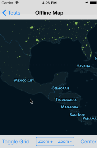
Example
var mapbox = require('com.polancomedia.mapbox');

var mapView = mapbox.createView({
    map: 'control-room',
    //map: 'road-trip',
    minZoom: 0,
    maxZoom: 6,
    zoom: 10,
    accessToken: 'pk.xyz.abc', //REQUIRED!!!
    centerLatLng: [20.7972,-88.1598],
    width: Ti.UI.FILL,
    height: Ti.UI.FILL
});

win.add(mapView);
win.open();
See more examples in the example folder.
Sample Maps
The example folder contains two sample mbtiles maps:
control-room
- Zoom levels 0 through 6
- Full-world coverage
road-trip
- Zoom levels 7 through 12
- Only contains subset of world coverage
Properties
map
- Required, path to local mbtiles file in Resources directory (include .mbtiles extension in string) or an online MapBox or a resolved path ( file.resolve(); ) of a file in the Application Data directory, or a TileStream id that looks something like: userName.map-szwegi5m.
accessToken
- Now required due to mapbox API v4 (mapbox-ios-sdk 1.5)
- Find this at https://www.mapbox.com/account/apps/
debugTiles
- Optional, defaults to false.
- Show grid with tile info to help with debugging.
hideAttribution
- Optional, defaults to false.
- Displays info button in corner of map.
- See Mapbox Terms and Conditions for attribution info.
userLocation
- Optional, defaults to false.
- Displays the user's location on map.
backgroundColor
- Optional, defaults to tan or beige or something like that
- Background color of the map when tile is loading or not available
- Useful to set this to the base color of your map if your map's colors contrast with the default color
Methods
clearTileCache()
- Remove all tile images that were cached while viewing a remote map.
setZoom(4)
- Zoom the map. Accepts a float to set the zoom level
setCenterLatLng([18.467354,-91.903534])
- Centers the map on a latitude and longitude.
Map Events
'mapViewRegionDidChange'
- Fires any time the map moves
'singleTapOnMap'
- Returns coordinates of where the map was single tapped as
latitudeandlongitude.
'longPressOnMap'
- Returns coordinates of where the map was long-pressed as
latitudeandlongitude.
Annotations
See Wiki Note: Annotations are a work in progress. You can set them like this:
mapView.setAnnotation({
	latitude: 18.467354,
	longitude: -91.903534,
	title: 'Test Title',
	subtitle: 'Subtitle'
});
Or you can also add them like the standard Ti map annotations:
var a1 = mapbox.createAnnotation({
	latitude: 18.467354,
	longitude: -91.903534,
    //markerImage: 'images/sample.png', //custom image for Annotation/Marker (optional)
	title: 'Test Title',
	subtitle: 'Subtitle'
});
mapView.addAnnotation(a1);
Shapes, Polygons, Routes, Lines
Just keep in mind that stuff like annotation-level setter/getters aren’t yet available.
Annotation and Shape Events
tapOnAnnotation
- Returns info of selected Annotation (Heads up, event name and info may change).
Todos
- Need to verify that min, max and default zoom levels work for maps that don't contain full-world (like road-trip).
-
Add support for remote maps - Add support for custom markers and other SDK items
-
Make mapbox.createAnnotation() and mapView.addAnnotation(annotation) interfaces similar to current Ti Map implementation - Full annotation support with events, images, clustering,
polygons - Contributions welcome
Contributors
Big shout out to these folks for contributing to titanium-mapbox development. Thanks!
About
- Me: Adam Paxton
- Twitter: @adampax
- Work: Polanco Media, LLC
License
MIT License Copyright (c) 2013-2014 Polanco Media, LLC
Uses MapBox iOS SDK, (c) 2008-2014 MapBox and Route-Me Contributors
Open Source Agenda is not affiliated with "Titanium Mapbox" Project. README Source: adampax/titanium-mapbox
Stars
67
Open Issues
16
Last Commit
6 years ago
Repository
License
