MuhammedKalkan PTS Save
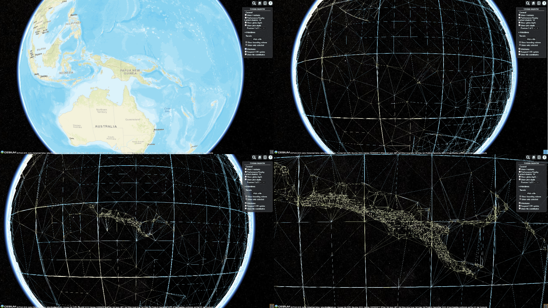
Quantized Mesh Terrain Data Generator and Server for CesiumJS Library
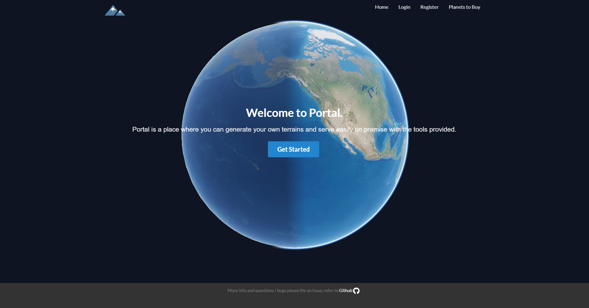
PORTAL - Planetary Terrain Models
Follow Twitter account for announcements. Twitter page HERE
You can produce your own terrain and download now. Visit PORTAL
Some of our partners
 |
|---|
Watch video here :
Features
- Generate and preview for free
- Multiple data source integration
- Layered terrain structure to save both processing time and space
- Free tools to serve on premise
- Live preview on portal or sandcastle without coding
- Download generated terrain
Please file an issue for any bugs or general questions. Email [email protected] for individual account questions
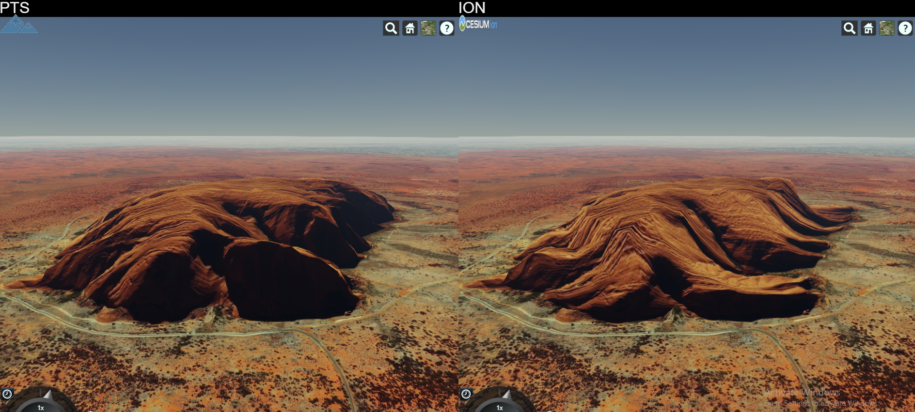
High Fidelity When Compared
PTS is a software that produces terrain data to be served primarily for CesiumJS library.
Latest News (05.09.2019)
Cesium updated to 1.61. Now Earth looks way much cooler!
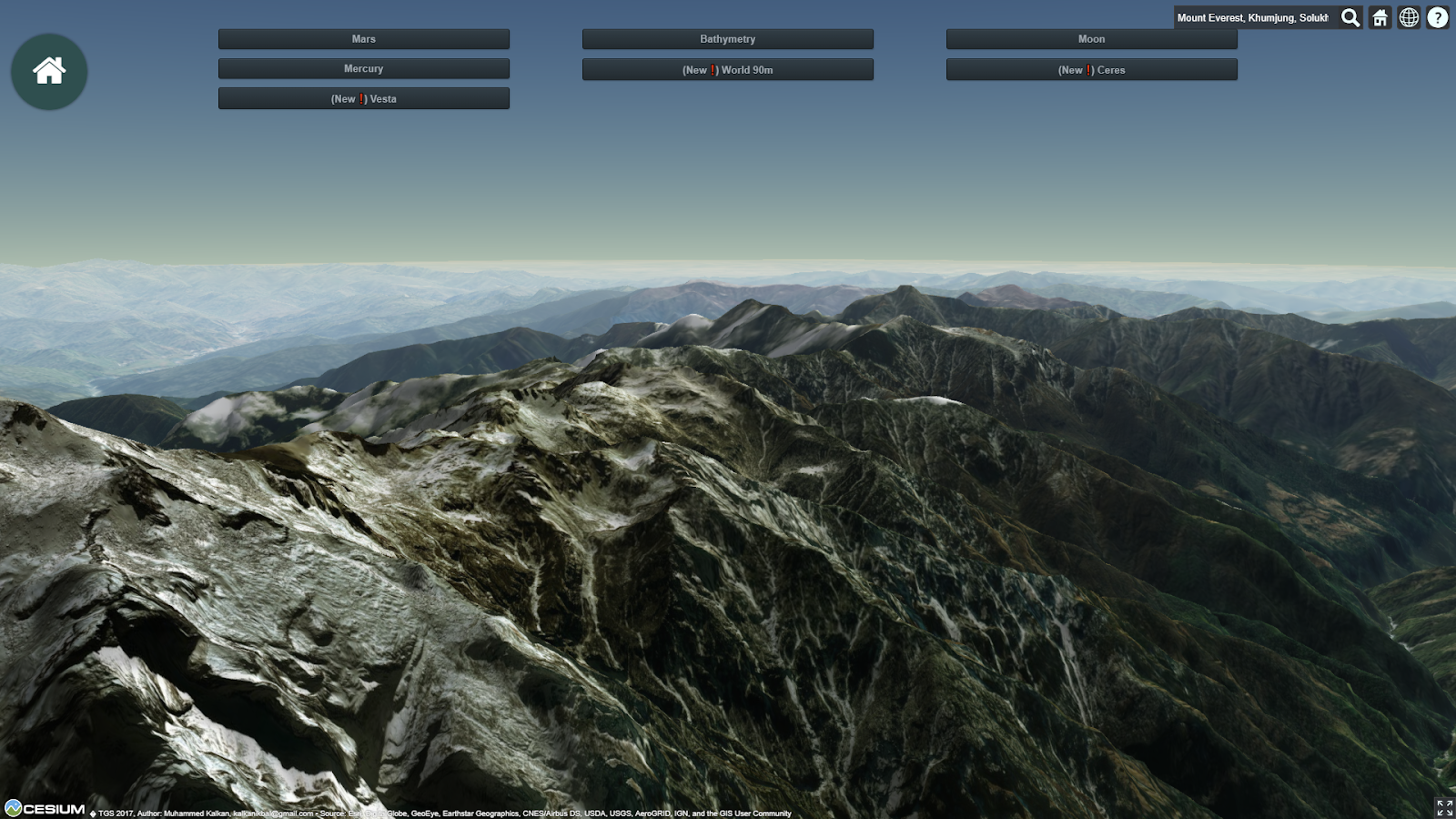
❗ High Resolution World Tileset is finally available. It has many data curated already and will be more incoming. Currently the coverage is stated as below:
- 90 meters Antarctica
- 90 meters Arctic Area
- 90 meters above 60N Russia
- 30 meters World Wide except above areas
- 10 meters USA and Alaska
- 10 meters Iceland
- 10 meters Australia
- 10 meters Norway
- 8 meters New Zealand
- 5 meters for Luxembourg
More will be joining to this high resolution dataset and improvements will be made.
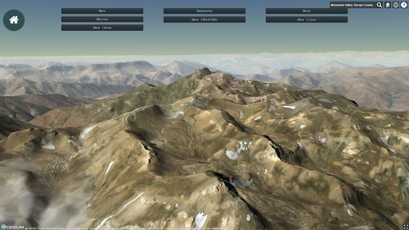
❗ Vesta and Ceres asteroids are in 3D. Go to terrainserver.com to view them.
❗ First Tileset Released INFO
❗ World Tileset 90m whole world resolution is available for sale in order to support project. Lighting and Water extensions supported. Contact for details over Twitter. Preview HERE.
Features
- Cesium ION output like terrain generation
- Cesium STK Terrain Server dataset file format read support
- Cesium STK Terrain Server dataset file format write support
- Quantized Mesh format tile generation
- KML format tile generation
- Tile Lighting Support
- Watermask Support
- High Throughput Tile Server
Published Tile Sets
Releases
World High Resolution
High resolution whole world dataset. Extensions supported
World 90m
90m whole world dataset. Extensions supported
Beta versions
Mercury
665m resolution Mercury elevation data, original Mercury scale
Moon
118m resolution Moon elevation data, original Moon scale
Mars
232m resolution Mars elevation data, original Mars scale
Topo 15
Elevation and Bathymetry data for whole wide world in 500m resolution