Kaggle Satellite Imagery Feature Detection Save
Satellite Imagery Feature Detection (68 out of 419)
Description
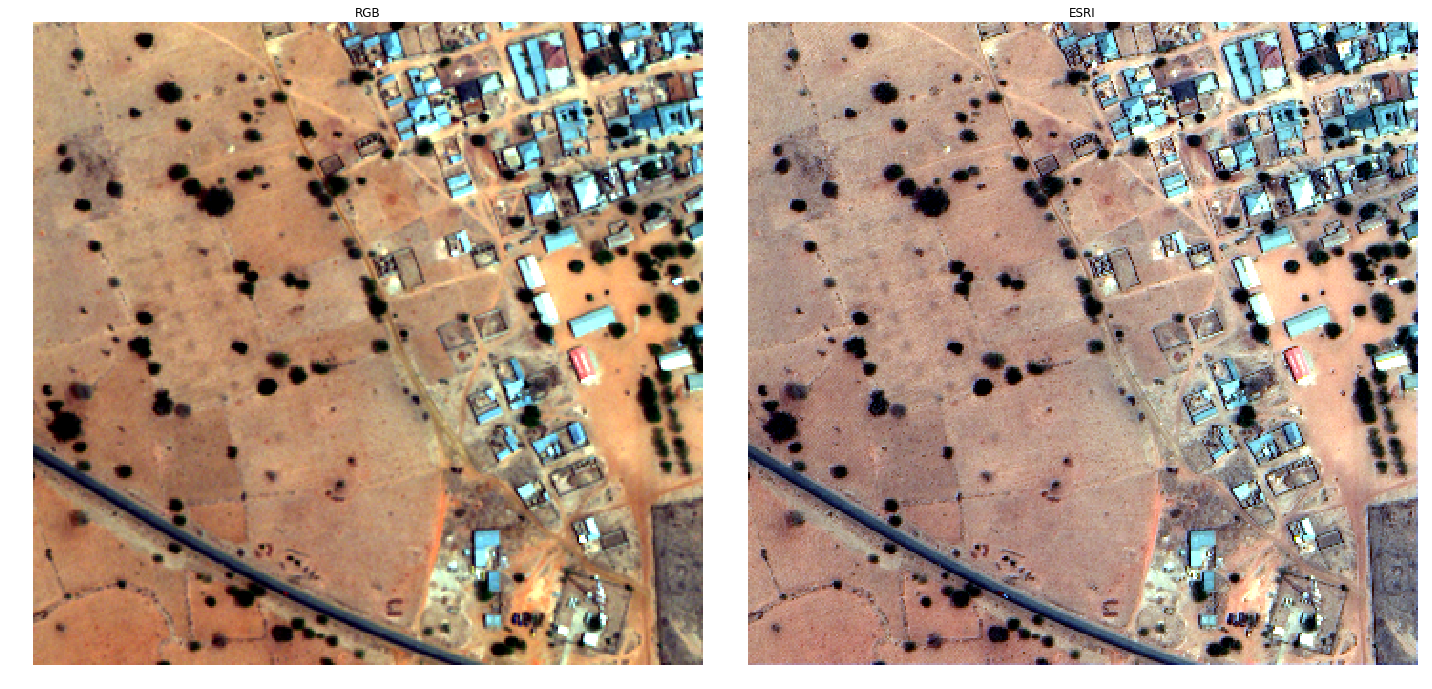
In this competition, DSTL provides 1km x 1km satellite images in both 3-band and 16-band formats. Main goal is to detect and classify the types of objects found in these regions.
Object types
In a satellite image, you will find lots of different objects like roads, buildings, vehicles, farms, trees, water ways, etc:
- Buildings - large building, residential, non-residential, fuel storage facility, fortified building
- Misc. Manmade structures
- Road
- Track - poor/dirt/cart track, footpath/trail
- Trees - woodland, hedgerows, groups of trees, standalone trees
- Crops - contour ploughing/cropland, grain (wheat) crops, row (potatoes, turnips) crops
- Waterway
- Standing water
- Vehicle Large - large vehicle (e.g. lorry, truck,bus), logistics vehicle
- Vehicle Small - small vehicle (car, van), motorbike
Main ideas
- Panchromatic sharpennig
- Reflectance indices
- Generative Adversarial Networks
- State-of-the-art CNN for Image Segmentation
Panchromatic Sharpening
Pansharpening is a process of merging high-resolution panchromatic and lower resolution multispectral imagery to create a single high-resolution color image. Google Maps and nearly every map creating company use this technique to increase image quality. Pansharpening produces a high-resolution color image from three, four or more low-resolution multispectral satellite bands plus a corresponding high-resolution panchromatic band.
Reflectance Index
The reflectance is used to calculate different reflectance indices, which sum up the large amount of information contained in a reflectance spectrum. Some of them are related to plant biomass, photosynthetic size and radiation use efficiency. Other parameters are related to the physiological status, e.g. water content.
Neural networks
My solution is based on modified fully convolutional neural network architecture called U-Net, that was previously used for the tasks of biomedical image segmentation. The U-Net architecture allows combining low-level feature maps with higher-level ones, which enables precise localization. In addition, I tried to improve segmentation accuracy using generative adversarial network as described in credits section.
Technical Report
Credits and Inspiration
- Towards Adversarial Retinal Image Synthesis (code)
- Image-to-Image Translation with Conditional Adversarial Networks
- Vegetation indices
